x
Beijing, the capital of the People’s Republic of China, earned its name 'Northern Capital' in 1403, boasting an ancient history of nearly 3000 years. As the second-largest city after Shanghai, Beijing holds the title of the most populous city globally, with over 21 million residents. The city spans an area of 16,801 square kilometers, adorned with beautiful gardens, temples, and palaces.
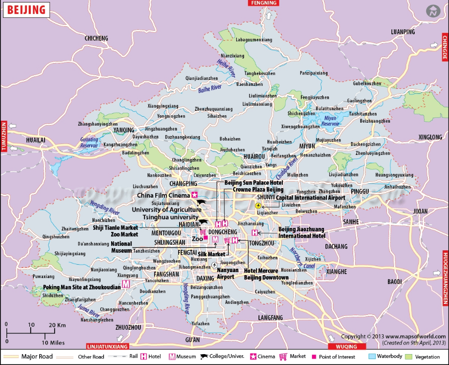
Situated at the head of the North China plains, Beijing enjoys an average elevation of 43.5 meters. Its strategic location between the northern plains and the Mongolian plateau is accentuated by highlands to the north, northwest, and west, while the southern side features lower terrain. The iconic Great Wall of China graces the northern part of the city.
With more than 200 rivers and streams meandering through its landscape, Beijing is marked by five major rivers: Yongding River, Chaobai River, Beiyun River, Juma River, and Ju River.
The city experiences a humid continental climate shaped by monsoon winds. Summers are hot and humid, while winters are cold and dry.
Copyright© ChinaFishShow.org All rights reserved.